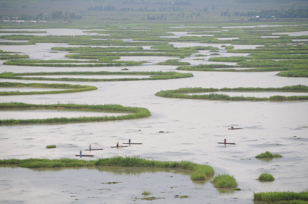
Manipur is a landlocked state in northeast India with Imphal as its capital. It borders Assam to the west, Mizoram to the south, and Nagaland to the north. It shares international borders with Myanmar, specifically the Sagaing Region to the east and Chin State to the southeast. Covering an area of 8,621 square miles (22,330 km²), the state consists mostly of hilly terrain with the 700-square-mile Imphal Valley inhabited by the Meitei (Manipuri) community, historically a kingdom. Surrounding hills are home to Naga and Kuki-Zo communities, who speak Tibeto-Burman languages.[9][10] The official language and lingua franca, Meitei (Manipuri), also belongs to the Tibeto-Burman family.
During the days of the British Raj, Manipur was one of the princely states.[12] Prior to the British departure in 1947, Manipur acceded to the Dominion of India, along with roughly 550 other princely states.[13] In September 1949, the ruler of Manipur signed a merger agreement with India, giving up his kingdom and obtaining a privy purse in return.[14] Many Meitei people feel that their self-determination was violated by the agreement since the legislature elected under the constitution was not consulted.[15] Followed by contestation of the merger by groups in Manipur, resulting in a 50-year insurgency in the state for independence from India.[15] From 2009 through 2018, the conflict was responsible for the violent deaths of over 1000 people.
The Meitei people represent around 53% of the population of Manipur state, followed by various Naga tribes at 20% and Kuki-Zo tribes at 16%.[17] Manipur's ethnic groups practice a variety of religions.[18] According to 2011 census, Hinduism and Christianity are the major religions of the state.
Manipur has primarily an agrarian economy, with significant hydroelectric power generation potential. It is connected to other areas by daily flights through Imphal Airport, the second largest in northeastern India.[19] Manipur is home to many sports and the origin of Manipuri dance,[20] and is credited with introducing polo to Europeans.
Capital: Imphal
Area: 22,327 km2 (8,621 sq mi)
Population: 2,855,794 (2011)
Official Languages: Manipuri
Average Elevation: 790 m (2,590 ft)
A map is loading
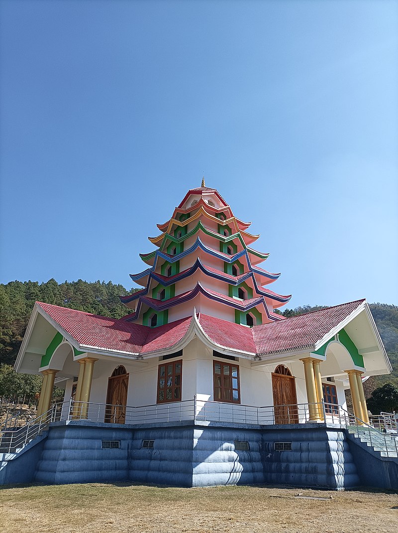
Sanamahi Temple (Sanamahi Kiyong) of Nongmaiching Ching, manipur , India
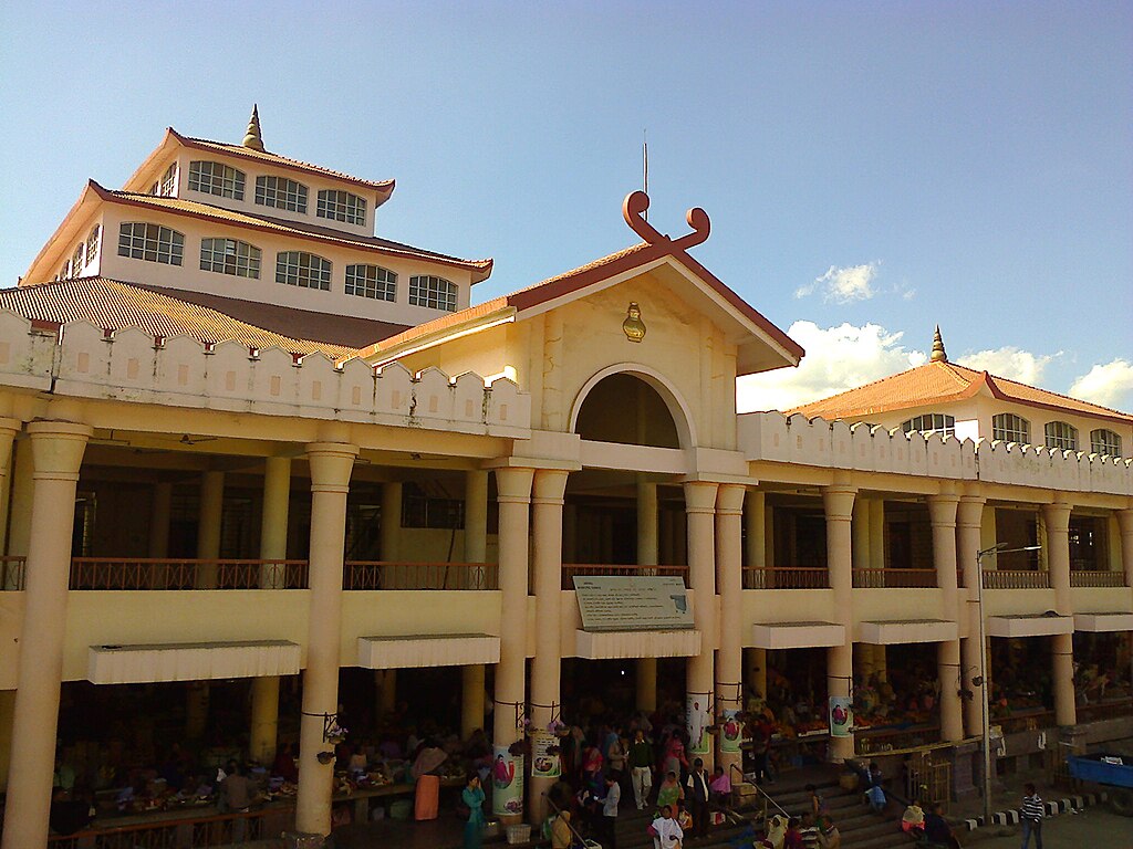
Ima Market, manipur, India
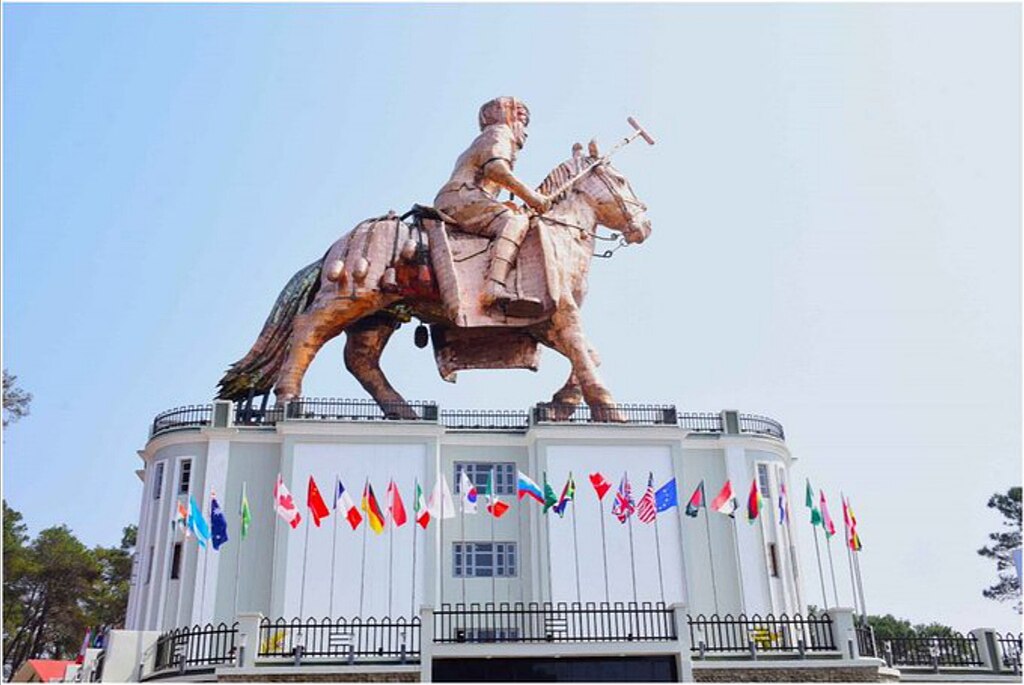
Marjing Polo Statue — World's tallest statue of a polo player (riding a horse) — Classical monumental Meitei equestrian sculpture — Marjing Polo Complex, Heingang — G20 summit — Cultural heritage of Meitei civilization — Birthplace of "modern polo" — Sagol Kangjei On the second day of G20 delegates visit to Kangleipak (Manipur), an excursion was organised by the State Government to showcase places of historic significance and famous tourists spots. Led by Chief Minister N Biren Sing, the delegates visited the Marjing Polo Complex located in Imphal East district where an iconic statue of polo player mounted on a horse statue has been erected. It is the world's tallest statue of a polo player. It was built to commemorate the game of "modern polo" being originated from Manipur. They were accorded a warm reception by the locals of the area., manipur, india
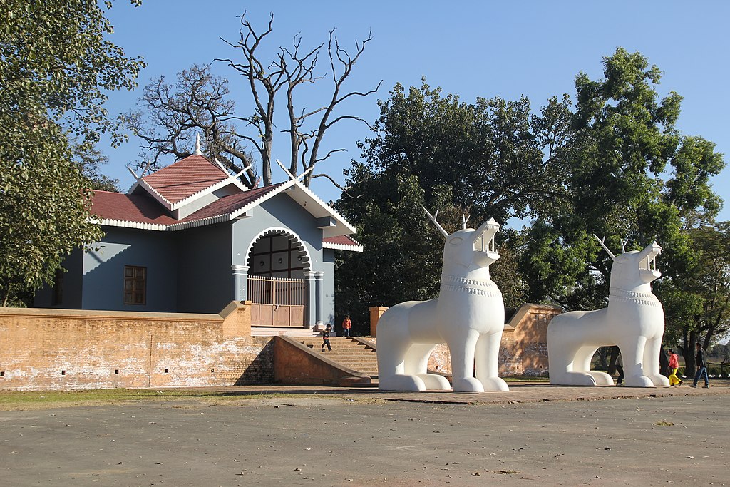
Uttra Sanglen, manipur, india
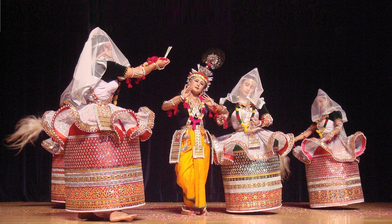
Rasa Lila in Manipuri dance style, manipur, India