Chhattisgarh is a landlocked state in Central India. It is the ninth largest state by area, and with a population of roughly 30 million, the seventeenth most populous.[13] It borders seven states – Uttar Pradesh to the north, Madhya Pradesh to the northwest, Maharashtra to the southwest, Jharkhand to the northeast, Odisha to the east, Andhra Pradesh and Telangana to the south.[14] Formerly a part of Madhya Pradesh, it was granted statehood on 1 November 2000 with Raipur as the designated state capital.
Chhattisgarh is one of the fastest-developing states in India.[16] Its Gross State Domestic Product (GSDP) is ₹5.09 lakh crore (US$61 billion) (2023–24 est.),[8] with a per capita GSDP of ₹152,348 (US$1,800)[8] (2023–24 est.). A resource-rich state, it has the third largest coal reserves in the country and provides electricity, coal, and steel to the rest of the nation.[17][18] It also has the third largest forest cover in the country after Madhya Pradesh and Arunachal Pradesh with over 40% of the state covered by forests.
Capital: Raipur
Area: 135,192 km2 (52,198 sq mi)
Population: 29,436,231 (2011)
Official Languages: Hindi, Chhattisgarhi
Average Elevation: 275 m (902 ft)
Highest Elevation: 1,276 m (4,186 ft) (Bailadila Range)
A map is loading
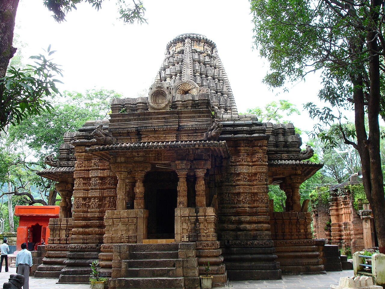
Bhorumdeo Temple is situated near Kawardha in Kabirdham District of Chhattisgarh, India.
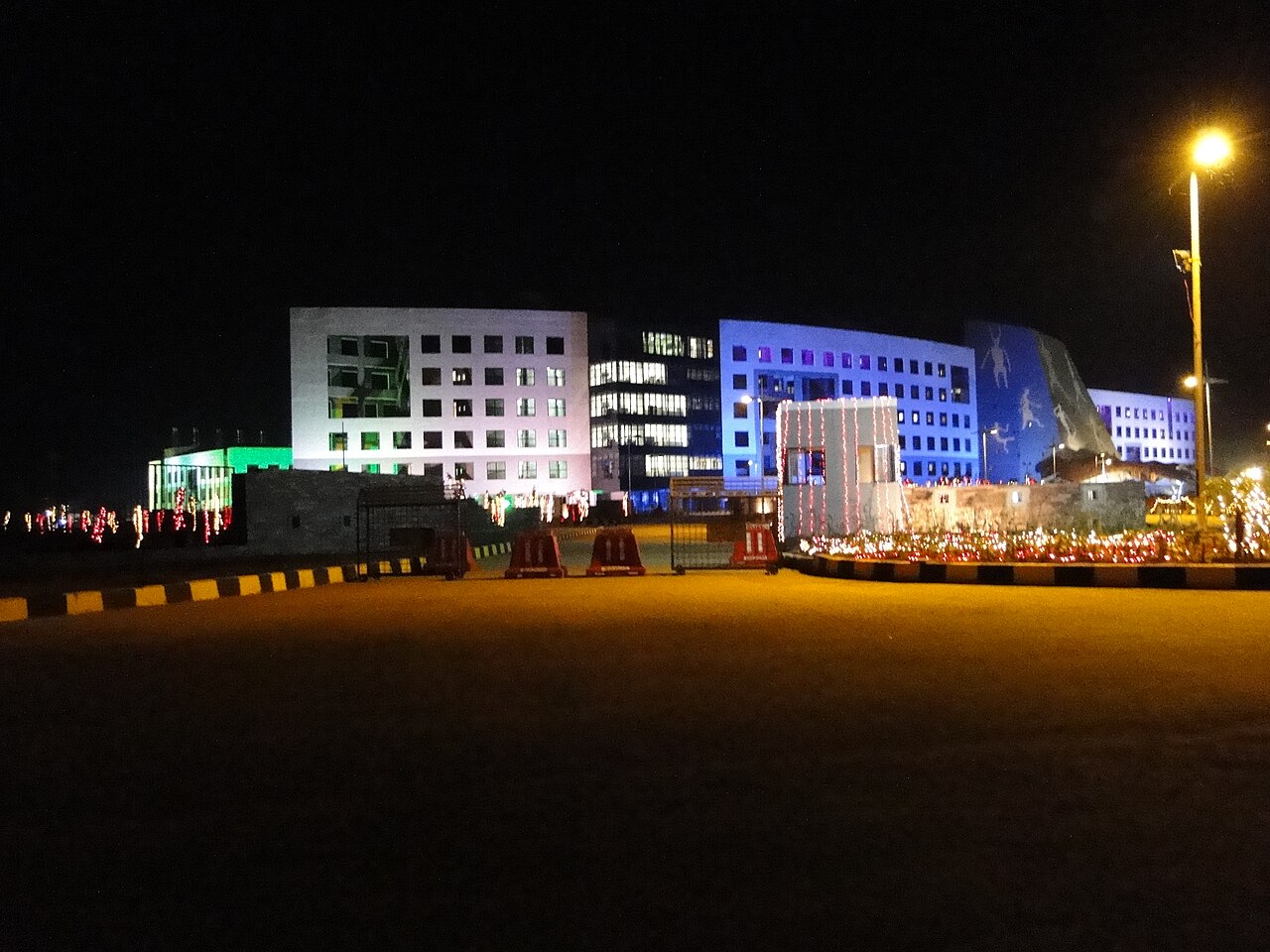
Secretariat in Naya Raipur, Chhattisgarh, India
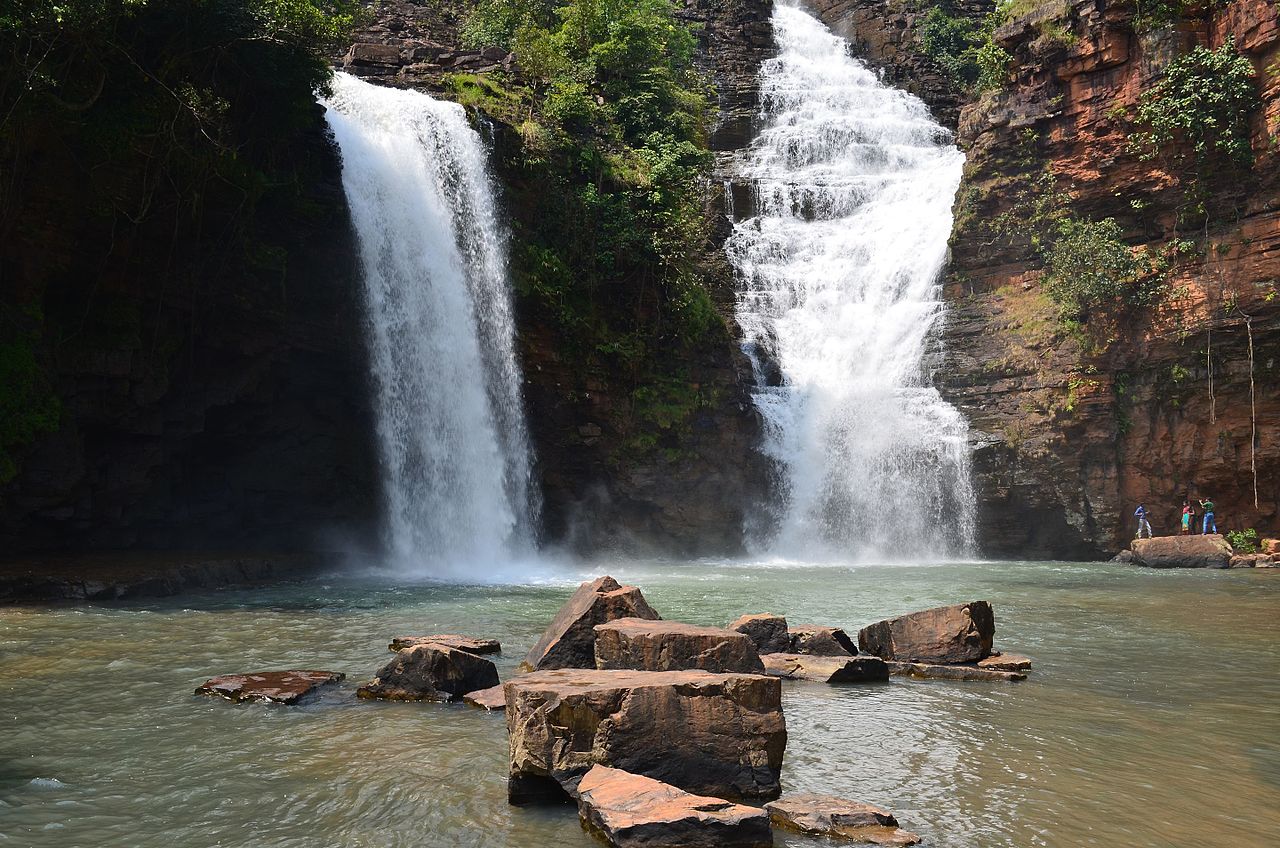
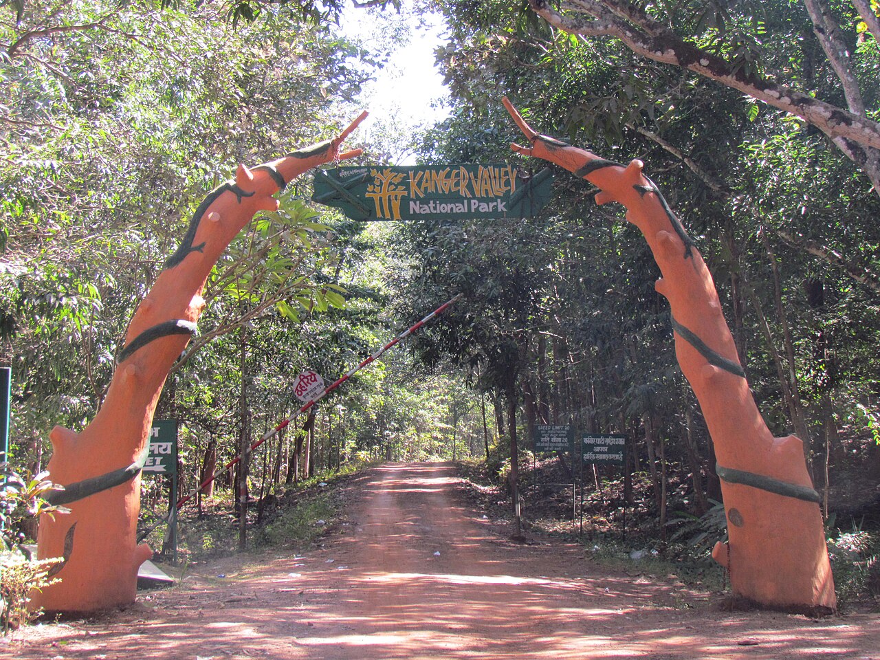
Tirathgarh waterfall at the Kanger Ghati National Park in the state of Chhattisgarh
giroudpuri dham, Chhattisgarh