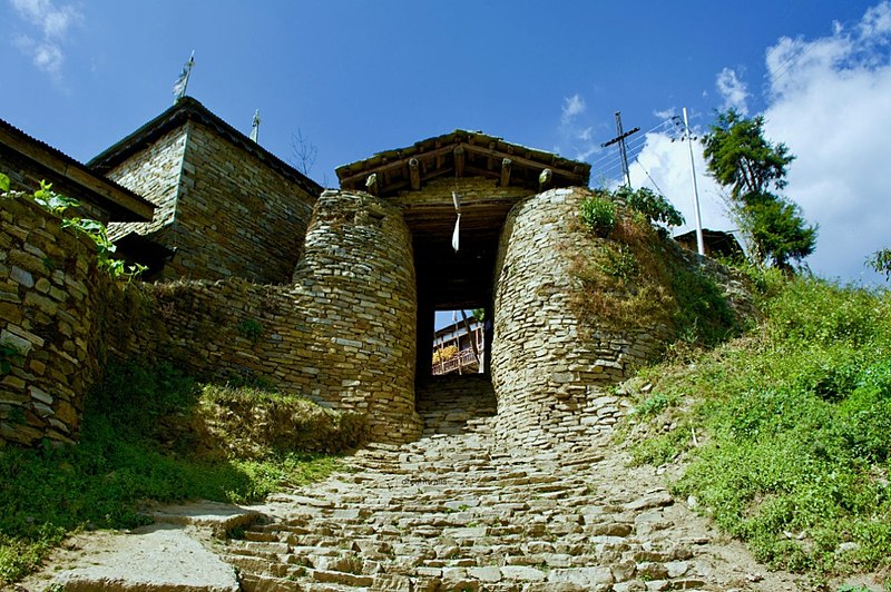
Arunachal Pradesh is a state in northeast India. It was formed from the North-East Frontier Agency (NEFA) region, and India declared it as a state on 20 February 1987. Itanagar is its capital and largest town. It borders the Indian states of Assam and Nagaland to the south. It shares international borders with Bhutan in the west, Myanmar in the east, and a disputed 1,129 km border with China's Tibet Autonomous Region in the north at the McMahon Line.[12] Arunachal Pradesh is claimed in its entirety[13][14][15] by China as South Tibet as part of the Tibet Autonomous Region;[16][17] China occupied some regions of Arunachal Pradesh in 1962 but later withdrew its forces.[18]: 22 [19]
As of the 2011 Census of India, Arunachal Pradesh has a population of 1,383,727 and an area of 83,743 square kilometres (32,333 sq mi). With only 17 inhabitants per square kilometre, it is the least densely populated state of India. It is an ethnically diverse state, with predominantly Monpa people in the west, Tani people in the centre, Mishmi and Tai people in the east, and Naga people in the southeast of the state. About 23 major tribes and 100 sub-tribes live in the state,[citation needed] including Nocte, Adi, Nyishi, Singpho, Galo, Tagin, Apatani. The Nyishi are the largest ethnic group in the region. The Mishmi tribe has three sub-tribes, namely Idu-Mishmi, Digaru-Mishmi and Miju-Mishmi.
Capital: Itanagar
Area: 83,743 km2 (32,333 sq mi)
Population: 1,383,727 (2011)
Official Languages: English
Average Elevation: 2,432 m (7,979 ft)
Lowest Elevation: 44 m (144 ft) ()
Highest Elevation: 7,060 m (23,160 ft) (Kangto)
A map is loading
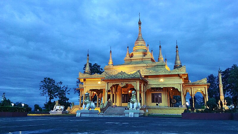
Golden Pagoda at Namsai in Arunachal Pradesh
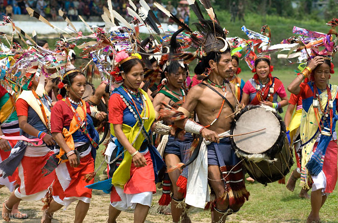
The Dancers from Tutsa sub tribe of Tangsa of Changlang district are dancing during their festival called Pongtu
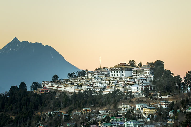
Tawang Monastery in Arunachal Pradesh is the largest monastery in India
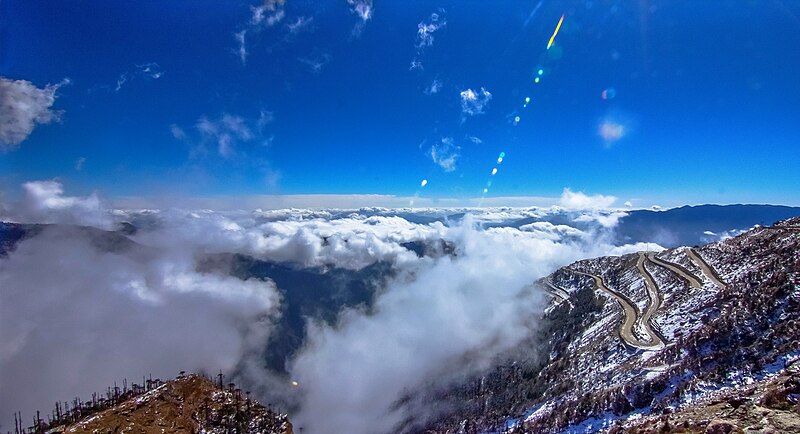
The Sela Pass is a high-altitude mountain pass located on the border between the Tawang and West Kameng Districts of Arunachal Pradesh state in India